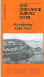
 OLD ORDNANCE SURVEY MAPS
One Inch Maps of England & Wales
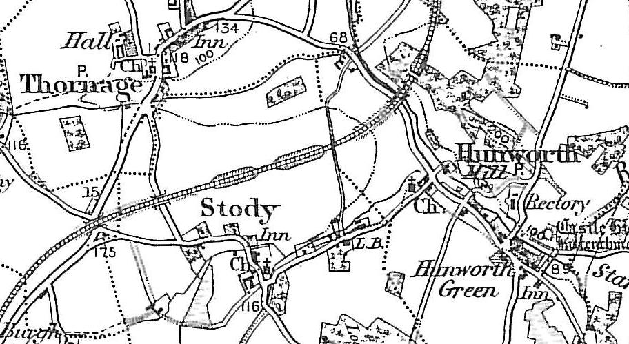
 These maps are taken from the famous OS "Inch to the Mile" Maps. Each provides an
invaluable overview of a wide area, typically 18 miles across by 12 miles down. Each map has an introduction to the
history of the area and most also include a more detailed map of a small town or village in the area.
These maps are taken from the famous OS "Inch to the Mile" Maps. Each provides an
invaluable overview of a wide area, typically 18 miles across by 12 miles down. Each map has an introduction to the
history of the area and most also include a more detailed map of a small town or village in the area.
Information pages have been added for each individual map, and these list the principal parishes and villages covered. Simply follow the links below.
All maps are available through our On-line Mapshop.
 England & Wales: see
  includes a map of Seahouses
