
Old Ordnance Survey Maps of Hampshire
We have a range of detailed maps for Hampshire towns and we also cover the whole county at the Inch to the Mile scale.
Here are the details.
All maps are available from our On-line Mapshop.
Hampshire County Council was formed in 1889. Portsmouth, Southampton and (from 1900) Bournemouth became County Boroughs.
In 1974 the county was divided into thirteen Districts: Basingstoke & Deane, East Hampshire, Eastleigh, Fareham,
Gosport, Hart, Havant, New Forest, City of Portsmouth, Rushmoor, City of Southampton, Test Valley, and City of Winchester. Bournemouth
and Christchurch were transferred to Dorset. In 1997 Portsmouth and Southampton became unitary authorities.
See This Page for a summary of the county's local government history.
 These are the maps we publish for Hampshire:
- 13.13 Farnborough 1930 - published 2003, introduction by Tony Painter
- 14.15 Tidworth 1936 - published 2003, intro by Tony Painter
- 18.09 Basingstoke 1894 - published 2001, intro by Alan Godfrey
- 21.09 Aldershot 1909 - published 2002, intro by Tony Painter
- 23.08 Andover 1894 - published 2000, minor rev 2019, intro by Alan Godfrey
- 35.07 Alton 1909 - published 2017, intro by Alan Godfrey
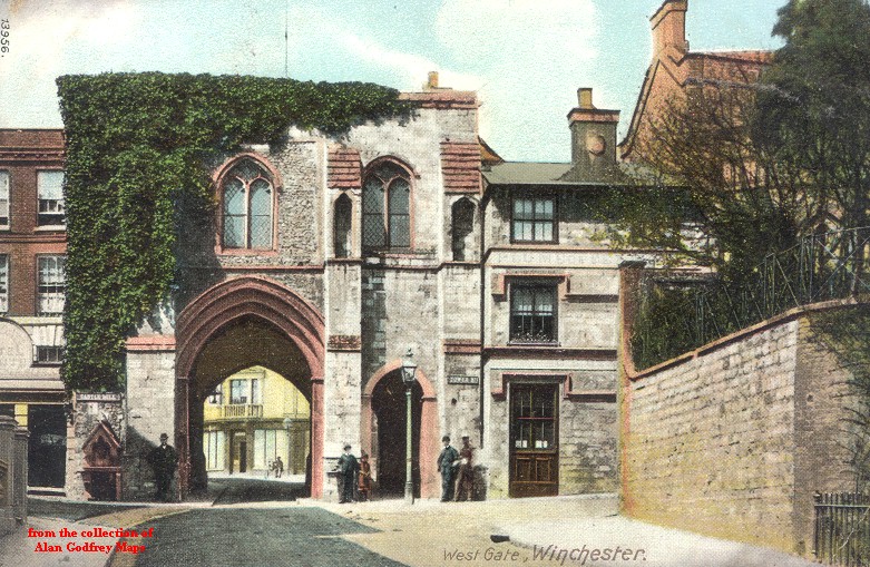
- 41.13 Winchester 1895 - published 1996, intro by Pamela Taylor
- 42.06 Alresford 1908 - published 2017, intro by Tony Painter
- 52.16 Petersfield 1908 - published 1997, intro by Alan Godfrey
- 56.04 Romsey 1908 - published 2018, intro by Pamela Taylor
- 57.08a Eastleigh (North) & Bishopstoke 1908 - published 2018, intro by Alan Godfrey
- 57.08b Eastleigh (North) & Bishopstoke 1931 - published 2020, intro by Barrie Trinder
- 57.12a Eastleigh (South) 1908 - published 2018, intro by Alan Godfrey
- 57.12b Eastleigh (South) 1931 - published 2020, intro by Barrie Trinder
- 62.03 Fordingbridge 1896 - published 1997, intro by Alan Godfrey
- 65.02 Southampton (Upper Shirley) 1931 - published 2021, intro by Tony Painter
- 65.03 Southampton (Portswood & Highfield) 1932 - published 2021, intro by Tony Painter
- 65.05 Southampton (Millbrook & Redbridge) 1931 - published 2020, intro by Tony Painter
- 65.06 Southampton NW (Shirley & Freemantle) 1931 - published 2021, intro by Tony Painter
- 65.07 Southampton NE (Bevois Town & Bitterne) 1932 - published 2021, intro by Tony Painter
- 65.10a Southampton (West) 1908 - published 2007, intro by Alan Godfrey
- 65.10b Southampton (West) 1931 - published 2021, intro by Tony Painter
- 65.11a Southampton (East) 1908 - published 2006, intro by Alan Godfrey
- 65.11b Southampton (East) 1932 - published 2021, intro by Tony Painter
- 65.15a Southampton Docks 1908 - published 2007, intro by Alan Godfrey
- 65.15b Southampton Docks 1931 - published 2021, intro by Tony Painter
- 70.11 Ringwood 1896 - published 2001, intro by Jude James
- 75.05 Fareham (North) & Wallington 1931 - published 2020, intro by Tony Painter
- 75.09 Fareham (South) 1931 - published 2020, intro by Tony Painter
- 75.11 Portchester 1937 - published 2020, intro by Tony Painter
- 86.12 Christchurch 1896 - published 1997; intro by Alan Godfrey
- 88.03 Lymington (East) 1931 - published 2018, intro by Tony Painter
See separate pages for Portsmouth & Gosport, Bournemouth or the Isle of Wight.
We also cover Hampshire in our Inch to the Mile series. These are the principal sheets for the county:
For a full list of the Inch to the Mile maps visit Visit the One Inch page
 Most maps in the Godfrey Edition are taken from the 25 inch to the mile map and reduced to about 15 inches to the mile.
For a full list of English maps, return to the England page
You can order maps direct from our On-line Mapshop.
Most maps in the Godfrey Edition are taken from the 25 inch to the mile map and reduced to about 15 inches to the mile.
For a full list of English maps, return to the England page
You can order maps direct from our On-line Mapshop.
This list shows all our maps for the county. We try to keep a full range in print but inevitably some titles fall out of print from time to time.
These are noted in our On-line Mapshop.
Alan Godfrey Maps, Prospect Business Park, Leadgate, Consett, DH8 7PW. Tel 01207 583388
The Godfrey Edition / sales@alangodfreymaps.co.uk / 20 May 2021
 These are the maps we publish for Hampshire: