Old Ordnance Survey Maps of Hampshire

  • These detailed maps normally cover an area of about one and a half miles by one mile. Each map includes an introduction.
  • They are available through our On-line Mapshop

  • Here are the details of maps for Southampton Docks:

  • Hampshire 65.15a Southampton Docks 1908 - published 2007; intro by Alan Godfrey. ISBN.978-1-84784-056-1
  • Hampshire 65.15b Southampton Docks 1931 - published 2031; intro by Tony Painter. ISBN.978-1-78721-413-2

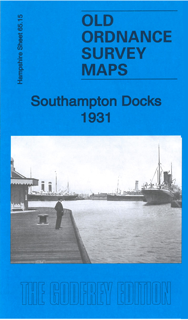
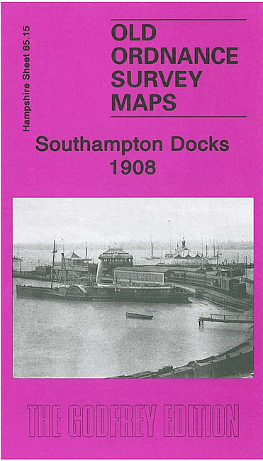
    We have published two versions of this map, showing how the area changed across the years.

    The dominant features of the maps are The Docks, including Inner Dock, Outer Dock, Empress Dock, Trafalgar Dry Dock,Prince of Wales Dry Dock and the Ocean Dock, here shown under construction. They are shown in detail, with dry docks, railway lines, warehouses, even mooring posts. Across the Itchen we have part of Woolston, including the shipbuilding works, Weston Point, Weston Grove, Weston Park. On the reverse of each we include part of adjacent sheet 65.14, which covers the Royal Pier and Town Quay.

    The map links up with Hampshire Sheet 65.11 Southampton East to the north.


  • Follow this link for a complete list for Hampshire.
  • You can order maps direct from our On-line Mapshop. For other information and prices, and other areas, go to The Index Page.
  • Maps in the Godfrey Edition are taken from the 25 inch to the mile map and reduced to about 15 inches to the mile. For a full list of maps for England, return to the England page.
    Alan Godfrey Maps, Prospect Business Park, Leadgate, Consett, Co Durham, DH8 7PW / sales@alangodfreymaps.co.uk / 25 March 2021