London Large Scale Sheet 07.01 Kentish Town (West) 1870-94 - published 2024. Intro by Pamela Taylor. ISBN.978-1-78721-754-6 
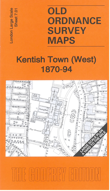
This very detailed map covers the west part of Kentish Town, west of Carlton Road.
Features include Orphan Working School, St Pancras Almshouses, St Dominick's Priory, Journeyman Taylors Institution, and streets of semi-detached villas, many
with gardens shown.
The map links up with sheet 6.10 Belsize Park to the west, 7.02 Kentish Town to the east, 7.11 Chalk Farm to the south.
For other Town Plans go to the London Town Plans page. Here is an Index Grid
For a full list of maps for London and Middlesex, return to the London page.
For other information and prices, and other areas, go to The Home Page.
Alan Godfrey Maps, Prospect Business Park, Leadgate, Consett, DH8 7PW. Tel 01207 583388
The Godfrey Edition / sales@alangodfreymaps.co.uk / 1 May 2025

 Here are the details of the map for west Kentish Town: