
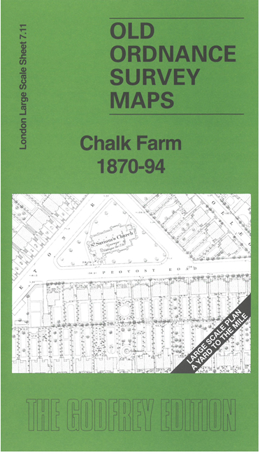
 Here are the details of the map for Chalk Farm:

This very detailed map covers the Chalk Farm area and is dominated by the vast sprawl of railway lines that fan out for the LNWR Goods Depot and goods sheds, including engine sheds and fitting shop, Chalk Farm station and the 'round-house' Goods Shed.
Around these the map is busy with streets of housing and the 1870 map even shows the layouts of many gardens. Other features include St Saviour's Church, Potato Market, chapels, etc. We include a reduced version of the 1894 map on the reverse.
The map links up with sheet 7.01 Kentish Town West to the north, 7.12 Camden Lock to the east, 7.21 The Zoo to the south.