Old Ordnance Survey Maps of Kent

  • These detailed maps normally cover an area of about one and a half miles by one mile. Each map includes an introduction.
  • They are available through our On-line Mapshop

  • Here are the details of maps for north Dartford:

  • Kent 9.02 Dartford (North) & Crayford (East) 1931 - published 2022; intro by Pamela Taylor. ISBN.978-1-78721-525-2

    This detailed map covers the northern part of Dartford and eastern part of Crayford.

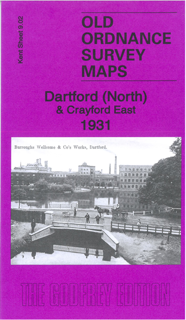
    Features include railways with Dartford station, engineering works, Wellcome Chemical Works, Dartford Cement Works, Dartford Paper Mills, Priory Works, River Darent, Dartford Creek with wharves, part of Joyce Green Hospital (in NE corner), parts of Dartford and Crayford Marshes, Crayford Flour Mills, Crayford Creek, River Cray, Saw Mills etc.

    The map links up with Kent Sheets 9.01 Crayford to the west, 3.14 Dartford Marshes to the north and 9.06 Dartford to the south.


  • For other maps in Bexley see our Bexley page, or follow this link for a complete list of our Kent Series maps. For other information and prices, go to The Index Page.
  • Maps in the Godfrey Edition are taken from the 25 inch to the mile map and reduced to about 15 inches to the mile. For a full list of maps for London, return to the London page
    The Godfrey Edition / sales@alangodfreymaps.co.uk / 1 November 2023