
 Here are the details of maps for Dartford Marshes:

This detailed map is double-sided for maximum coverage and includes part of sheet 3.10 to the north.
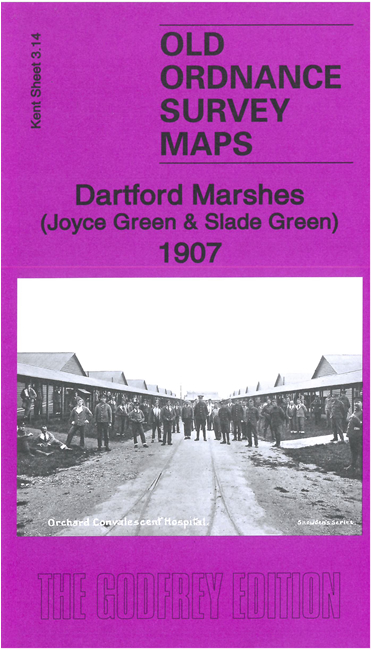
Much of the map is marshland but there is much of interest. Features include Orchard Hospital, most of Joyce Green Hospital, Slade Green Engine shed, The Grange, Howbury, Sladesgreen Farm, Crayford Marshes, River Darent, Crayford Ness, Longreach Tavern, ammunition works etc. The historical introduction also describes the historic WW1 airfield that was based on these marshes.
The map links up with sheet 3.13 Barnehurst to the west, 9.02 Dartford North to the south, 9.03 Dartford NE to the east.