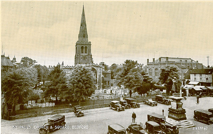
Old Ordnance Survey Maps of Bedfordshire
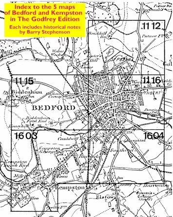
We have a range of detailed maps for Bedfordshire towns, including Bedford itself and we also cover the whole county at the Inch to the Mile scale.
All maps are available from our On-line Mapshop.
Bedfordshire County Council was formed in 1889. There was a reorganisation in 1974, when a two-tier county structure was chosen, with a County Council and 4 Districts.
Bedfordshire County Council was abolished in 2009 and the county is now governed by 3 unitary authorities: Bedford, Central Bedfordshire and Luton.
See This Page for a summary of the county's local government history.
 These are the maps we publish for Bedfordshire:
We also cover the whole of Bedfordshire in our Inch to the Mile series. These are the principal sheets for the county:
Visit the One Inch page for a full list of our Inch to the Mile maps.
 Most maps in the Godfrey Edition are taken from the 25 inch to the mile map and reduced to about 15 inches to the mile.
For a full list of English maps, return to the England page
This list shows all our maps for the county. We try to keep a full range in print but inevitably some titles fall out of print from time to time.
These are noted in our On-line Mapshop.
Most maps in the Godfrey Edition are taken from the 25 inch to the mile map and reduced to about 15 inches to the mile.
For a full list of English maps, return to the England page
This list shows all our maps for the county. We try to keep a full range in print but inevitably some titles fall out of print from time to time.
These are noted in our On-line Mapshop.
Alan Godfrey Maps, Prospect Business Park, Leadgate, Consett, DH8 7PW. Tel 01207 583388
The Godfrey Edition / sales@alangodfreymaps.co.uk / 22 August 2022
 These are the maps we publish for Bedfordshire:
