 Here are the details of maps for SE Leeds.


We have published three versions for this busy area, showing how it changed across the years.
Coverage stretches from Wellington Station eastward to Pontefract Lane and southward to Goodman Street. Part of the city centre is included, with City Square, Boar Lane, theCorn Exchange and St Peter's Square.
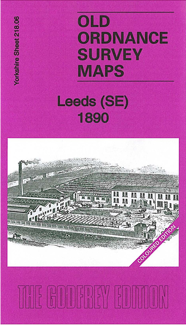
Features on the 1890 version include Wellington station, New Station, River Aire, St Peter's church, Richmond Hill area, Midland Goods Station, Hunslet Engine Works, Airedale Foundry, Potters Field area, Goodman Street Works, Clarence Iron & Steel Works, Hunslet Linen Works, Aire & Calder Navigation, New Dock, Black Dog Mills, disused potteries, tramways, Corn Exchange, Boar Lane, Knowsthorpe New Hall and much more.
The 1906 and 1919 map versions cover the same area at a later stage, showing how the area developed across the years. Note that the 1906 version was originally titled 'South Leeds'.
The map links up with Sheets 218.02 Central Leeds to the north, 218.05 Holbeck to the west, 218.07 Osmondthorpe to the east and 218.10 Hunslet to the south.