
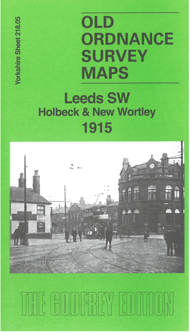
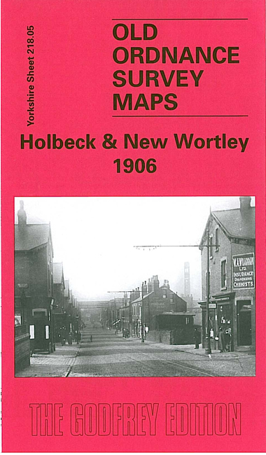
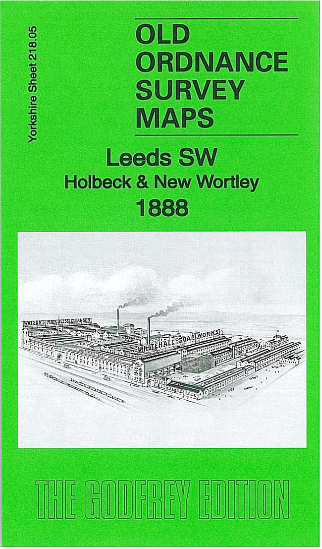
 Here are the details of maps for Holbeck:

We have published three versions of this busy map, showing how the area changed across the years. Coverage stretches from Amberley Road eastward to David Street, and from Central Station southward to Brown Lane.
The many features include Central Station; Midland, LNWR and GNR engine sheds; Whitehall Road Goods Station, Holbeck MR and GNR stations, western approaches to City station, Wortley West and East Junctions, Farnley & Wortley station, Canal Junction, Holbeck Junction and all the connecting lines shown in detail, with track layout, signal posts, turntables etc. Industry includes Temple Works, Tower Works, Monk Bridge Iron & Steel Works, Ingram Works, Leeds Gas Works, Whitehall Soap Works. Other features include Holbeck Workhouse, Mint, Mann's Field, New Wortley Cemetery, prison (left blank for security reasons), Cattle Market, numerous churches, tramways, Wortley Recreation Ground, Leeds & Liverpool Canal, and much more.
The map links up with Sheets 218.01 Leeds NW to the north, 217.08 Wortley to the west, 218.06 South Leedsto the east and 218.09 Beeston to the south.