Old Ordnance Survey Maps of Surrey

  • These detailed maps normally cover an area of about one and a half miles by one mile. Each map includes an introduction.
  • They are available through our On-line Mapshop

  • Here are the details of maps for Brooklands:

  • Surrey Sheet 11.15 Weybridge (Brooklands) & Newhaw 1912 - published 2024; intro by Tony Painter. ISBN.978-1-78721-739-3

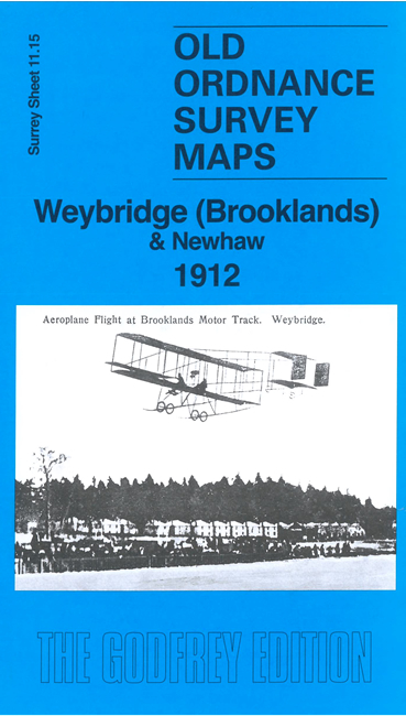
    A major feature of this map is the northern half of the Brooklands Race Course, together with the hamlet of Newhaw.

    Features include substantial part of race course, railways, River Wey Navigation, Newhaw hamlet, Weybridge golf course, etc.

    On the reverse is a specially written introduction to the history of the area.

    The map links up with sheet 11.11 Weybridge West to the north.


  • Follow this link for a complete list of our Surrey maps, here for Croydon, or here for the London Boroughs.
  • You can order maps direct from our On-line Mapshop. For other information and Prices, see Index Page.
  • Most maps in the Godfrey Edition are taken from the 25 inch to the mile map and reduced to about 15 inches to the mile.
    The Godfrey Edition / sales@alangodfreymaps.co.uk / 17 April 2024