
 Here are the details of the map for Earl's Court:

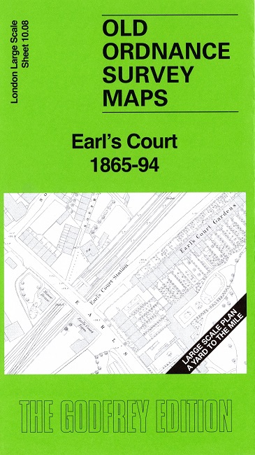
This detailed map covers the area around Earl's Court.
Features include Earl's Court Station, Manor House, Earl's Court Farm, St Matthias church, Walwyn House, The Priory, Coleherne Court, Earl's Court House, railways, Lillie Bridge Works, etc.
On the reverse we include a reduced version of the 1894 map for the same area, together with a specially written introduction to the history of the area.
The map links up with sheet Earls Court Road to the north, West Brompton to the south.