Old Ordnance Survey Town Plans of London

  • These highly detailed maps, at a scale of 1:1760 or a Yard to the Mile, cover parts of central London in exceptional detail. They are available through our On-line Mapshop

  • Here are the details of the map for Earl's Court:

  • London Large Scale Series Sheet 10.18 West Brompton 1865-94 - published 2025. Intro by Alan Godfrey. ISBN.978-1-78721-847-5

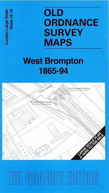
    This detailed map covers the area around and to the south of West Brompton station.

    Features include the West Brompton stations, Lillie Bridge Cricket Ground, nurseries, Brompton Cemetery, North End Road, The Hermitage, Lillie Road etc.

    Features on the later map also include Mount Carmel Heritage, Beaufort House, Western Hospital etc

    On the reverse we include a reduced version of the 1894 map for the same area, together with a specially written introduction to the history of the area.

    The map links up with sheet Earls Court to the north.


  • For other Town Plans go to the London Town Plans page. Here is an Index Grid
  • For a full list of maps for London and Middlesex, return to the London page.
  • For other information and prices, and other areas, go to The Home Page.
    Alan Godfrey Maps, Prospect Business Park, Leadgate, Consett, DH8 7PW. Tel 01207 583388
    The Godfrey Edition / sales@alangodfreymaps.co.uk / 27 March 2025