Old Ordnance Survey Maps of Bournemouth, Christchurch & Poole

  • These detailed maps normally cover an area of about one and a half miles by one mile. Each map includes an introduction.
  • They are available through our On-line Mapshop

  • Here are the details of maps for central Bournemouth:

  • Hampshire 86.13a Central Bournemouth 1908 - published 2026; intro by Tony Painter. ISBN.978-1-78721-887-1
  • Hampshire 86.13b Central Bournemouth 1923 - published 1992; intro by Alan Godfrey. out of print

    This detailed map covers the central, coastal area of Bournemouth. We include two maps, one under the other, to show 3 miles of the Bournemouth coastline from the Winter Gardens eastward to Fisherman's Walk. The maps, Sheets 86.13 and 86.14, link up with the North Bournemouth and Boscombe maps above.

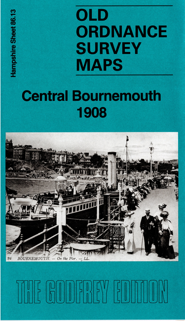
    Features on Sheet 86.13 include Bournemouth Pier, Pleasure Grounds, Winter Gardens, St Peter's church, Royal Bath Hotel, Royal Exeter Hotel, St Swithun's church, East Cliff, Russell Cotes Museum, Westover Palace. On Sheet 86.14 are Boscombe Pier, Boscombe Spa, Portman Ravine.

    The map links up with Hampshire Sheets 86.09 North Bournemouth to the north, 86.10 Boscombe to the north.


  • Follow this link for a complete list for Bournemouth Christchurch & Poole maps, or follow these links for the rest of Dorset, or Hampshire, or for the whole South West region. For other information and prices, and other areas, go to The Index Page.
  • Maps in the Godfrey Edition are taken from the 25 inch to the mile map and reduced to about 15 inches to the mile. For a full list of maps for England, return to the England page.
    Alan Godfrey Maps, Prospect Business Park, Leadgate, Consett, Co Durham, DH8 7PW / sales@alangodfreymaps.co.uk / 16 June 2026