Hampshire 85.16 Bournemouth (West) & Branksome Park 1908 - published 2026; intro by Tony Painter. ISBN.978-1-78721-908-3 
This detailed map covers the western part of Bournemouth, from West Hill and The Triangle westward to Lakeside Road at Branksome Park.
Features include Branksome Manor, Branksome Tower Hotel, Berkeley Towers, Ashton Court, Branksome Dene, Alum Chine, Chine Road,
many villas, Royal Victoria Hospital, The Triangle etc.
We include 1899 and 1920 directories of Branksome Park on the reverse, together with an introduction by Tony Painter.
The map links up with Hampshire Sheets 85.12 Bournemouth NW to the north and 86.13 Central Bournemouth to the east.
Follow this link for a complete list for Bournemouth Christchurch & Poole maps, or follow these links for
the rest of Dorset, or Hampshire, or for the whole South West region.
For other information and prices, and other areas, go to The Index Page.
Maps in the Godfrey Edition are taken from the 25 inch to the mile map and reduced to about 15 inches to the mile.
For a full list of maps for England, return to the England page.
Alan Godfrey Maps, Prospect Business Park, Leadgate, Consett, Co Durham, DH8 7PW / sales@alangodfreymaps.co.uk / 3 July 2026

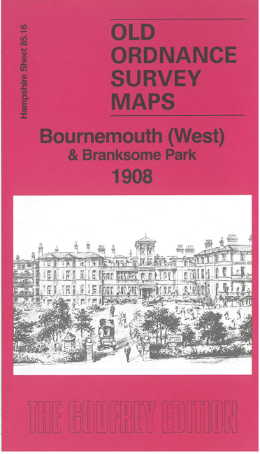 Here are the details of maps for west Bournemouth: