
 Here are the details of maps for NW Bournemouth:

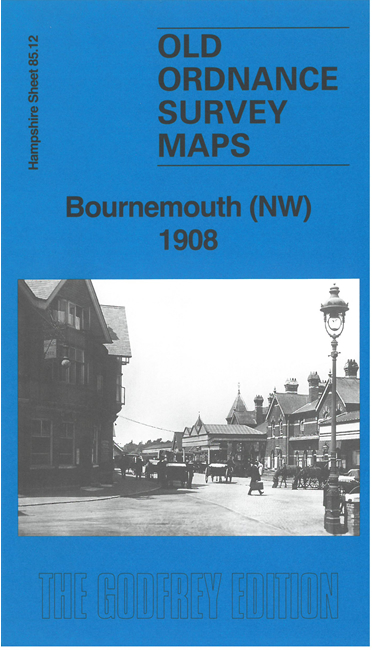
This detailed map covers the NW part of Bournemouth, from Bournemouth West station northward.
Features include railway with Bournemouth West station, Bournemouth Junction line, Bourne Hall hotel, St John's church, Gas & Water Works, Parkbury, Benellen Towers, Hume Towers, tramway, Pleasure Grounds, Westbourne area, Meyrick Park, Sanatorium, St Joseph's Convalescent Home, many detached villas.
On the rerverse we include part of adjacent sheet 85.08 extending coverage north to Talbot Road, Talbot Home.
The map links up with Hampshire Sheets 86.09 North Bournemouth to the east.