
 Here are the details of maps for north Bournemouth:

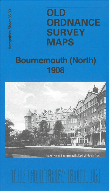
We have published two versions of this map, showing how the area changed across the years.
The maps cover the northern part of Bournemouth, with coverage stretching from Braidley Road eastward to Knole Road and St Clements church, and from Iddesleigh Road and the cemetery southward to Christchurch Road and Old Christchurch Road.
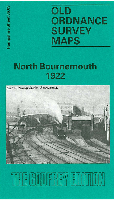
Features include Central station, near the centre of the map, engine shed and turntable; Dean Park, St Augustine's church, Wimborne Road, Richmond Gardens, Town Hall (bottom left corner), Madeira Vale, Hotel Metropole, Municipal College, Lansdowne Road, Holdenhurst Road, St Paul's church, tramways and tram depot, Knyveton Gardens, and innumerable villas.
The map links up with Hampshire Sheets 85.12 Bournemouth NW to the west, 86.10 Boscombe to the east and 86.13 Central Bournemouth to the south.