
Old Ordnance Survey Maps of Renfrewshire and Inverclyde
These are the maps we publish for Renfrewshire. Each map includes an introduction.
They are available through our On-line Mapshop
Renfrewshire, is one of Scotland's historic counties. It was abolished in 1975 when it became part of Strathclyde.
Since 1996 it has been governed by three unitary councils, East Renfrewshire, Inverclyde and Renfrewshire.
See This Page for more information on the area's local government history.
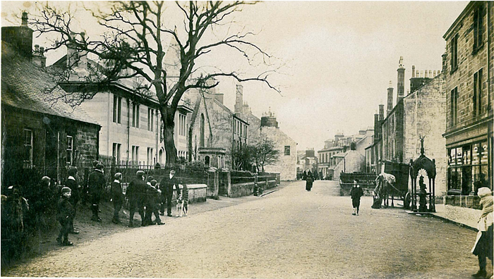
 These are the maps we publish in Renfrewshire:
- Sheet 01.04 Gourock 1912 - published 2008, intro by Gilbert T Bell
- Sheet 02.05 Greenock (West) 1896 - published 2002, intro by Gilbert T Bell
- Sheet 02.06 Greenock (East) 1896 - published 2002, intro by Gilbert T Bell
- Sheet 02.11 Port Glasgow 1896 - published 2003, intro by Gilbert T Bell
- Sheet 05.06 Wemyss Bay 1912 - published 2004, intro by Gilbert T Bell
- Sheet 08.07 Renfrew (North) & Yoker 1896 - published 2003, intro by Gilbert T Bell
- Sheet 08.11 Renfrew 1895 - published 2002, intro by Gilbert T Bell
- Sheet 11.08 Johnstone 1895 - published 2005; intro by Gilbert Bell
- Sheet 12.02a Paisley 1858 - published 2012, intro by Gilbert T Bell

- Sheet 12.02b Paisley 1896 - published 1997, intro by Gilbert T Bell
- Sheet 12.15 Barrhead 1911 - published 2004, intro by Gilbert T Bell
- Sheet 16.02 Neilston 1895 - published 2006, intro by Gilbert T Bell
 Most maps in the Godfrey Edition are taken from the 25 inch to the mile map and reduced to about 15 inches to the mile.
For a full list of maps for Scotland, return to the Scotland page
You can order maps direct from our On-line Mapshop.
This list shows all our maps for the county. We try to keep a full range in print but inevitably some titles fall out of print from time to time.
These are noted in our On-line Mapshop.
Most maps in the Godfrey Edition are taken from the 25 inch to the mile map and reduced to about 15 inches to the mile.
For a full list of maps for Scotland, return to the Scotland page
You can order maps direct from our On-line Mapshop.
This list shows all our maps for the county. We try to keep a full range in print but inevitably some titles fall out of print from time to time.
These are noted in our On-line Mapshop.
Alan Godfrey Maps, Prospect Business Park, Leadgate, Consett, DH8 7PW. Tel 01207 583388
The Godfrey Edition / sales@alangodfreymaps.co.uk / 6 November 2016
 These are the maps we publish in Renfrewshire: