Old Ordnance Survey Maps of Wiltshire

  • These detailed maps normally cover an area of about one and a half miles by one mile. Each map includes an introduction.
  • They are available through our On-line Mapshop

  • Here are details of our maps for Bulford Camp:

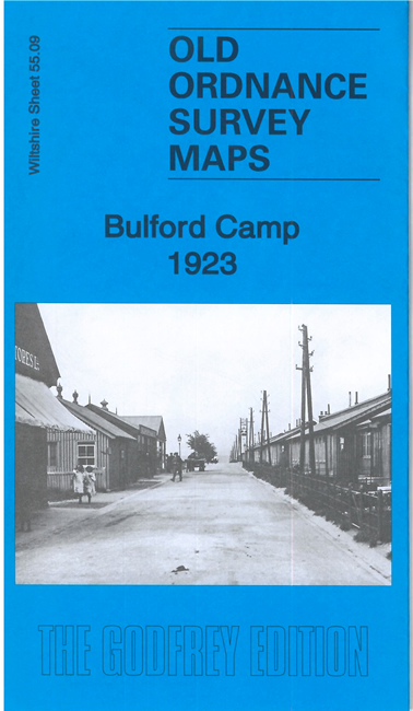
    Wiltshire 55.09 Bulford Camp 1923 - published 2021; intro by Tony Painter. ISBN.978-1-78721-469-9

    This unusual map covers the major military camp at Bulford.

    Features include Bulford Extension railway with platforms for soldiers and horses, many lines of army huts (incl Ypres Lines, Aisne Lines, Marne Lines, Somme Lines, Gallipoli Lines etc), hospital, church, workshops, lorry shelter, market, riding school etc. The introduction by Tony Painter gives an excellent history of the camp.

    The map links up with Wiltshire sheets 54.12 Bulford village to the west.


  • Follow this link for a complete list of our Wiltshire Series or Swindon maps; or here for all maps in South West England.
  • You can order maps direct from our On-line Mapshop. For other information and prices, and other areas, go to The Index Page.
  • Most maps in the Godfrey Edition are taken from the 25 inch to the mile map and reduced to about 15 inches to the mile. For a full list of maps for England, return to the England page.
    The Godfrey Edition / sales@alangodfreymaps.co.uk / 31 August 2021