Wiltshire 11.02 Highworth 1922 - published 2022; intro by Tony Painter. ISBN.978-1-78721-508-5 
This detailed map covers the small town of Highworth, just NE of Swindon.
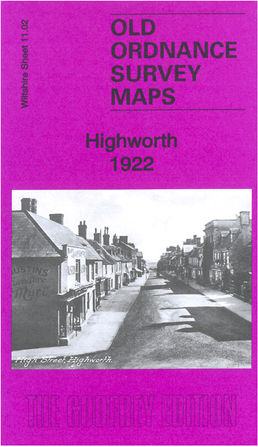
The town is covered in detail and features include railway station, St Michael's church, Redlands Court, Westrop House, Vorda Works, Market Place, Eastrop,
Eastrop Grange etc.
On the reverse we include a specially written introduction by Tony Painter, together with a 1907 directory of the town and a 1929 timetable for
its branch line railway.
Follow this link for a complete list of our Wiltshire Series or Swindon maps; or here for
all maps in South West England.
You can order maps direct from our On-line Mapshop.
For other information and prices, and other areas, go to The Index Page.
Most maps in the Godfrey Edition are taken from the 25 inch to the mile map and reduced to about 15 inches to the mile.
For a full list of maps for England, return to the England page.
The Godfrey Edition / sales@alangodfreymaps.co.uk / 29 January 2022

 These are our maps for Highworth: