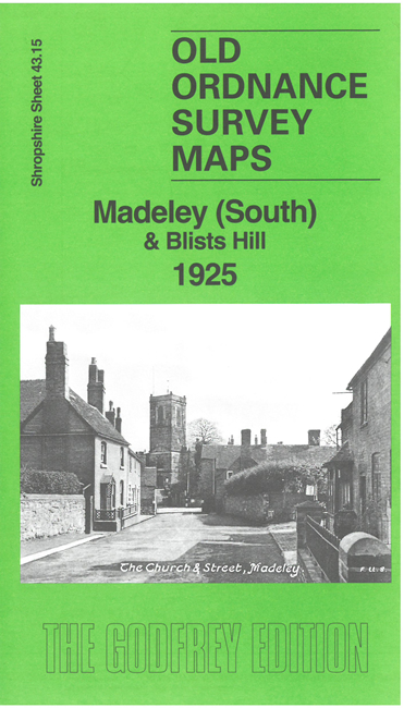
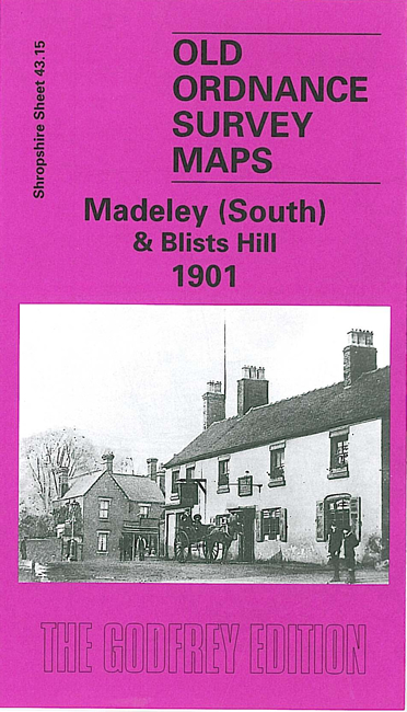
Shropshire Sheet 43.15b Madeley South & Blists Hill 1925 - published 2025; intro by Barrie Trinder. ISBN.978-1-78721-761-4 
We have published two versions of this map, showing how the area changed across the years. The maps cover the south of Madeley from the High Street.
Features include St Michael's Church, Madeley Market Station and Railway Line, Madeley Hall, Meadowpit Colliery, Blists Hill Iron Works, Suttonhill House,
St Mary's Church and Jackfield Encaustic Tile Works. Each map includes extracts from early directories.
This map links up with Shropshire Sheet 43.11 Madeley Court to the North, 43.14 Ironbridge to the West
and 51.05 Coalport to the south.
Follow this link for a complete list of our Shropshire or Telford maps.
For other information and prices, and other areas, go to The Index Page.
Maps in the Godfrey Edition are taken from the 25 inch to the mile map and reduced to about 15 inches to the mile.
For a full list of maps for England, return to the England page.
The Godfrey Edition / sales@alangodfreymaps.co.uk / 30 August 2024

 Here are the details of maps for Madeley South: