Old Ordnance Survey Maps of Shropshire

  • These detailed maps normally cover an area of about one and a half miles by one mile. Each map includes an introduction.
  • They are available through our On-line Mapshop

  • Here are the details of maps for Coalport:

  • Shropshire Sheet 51.03 Coalport 1925 - published 2024; intro by Barrie Trinder. ISBN 978-1-78721-762-1


    This detailed map gives good coverage of Coalport, at the SE edge of Telford.

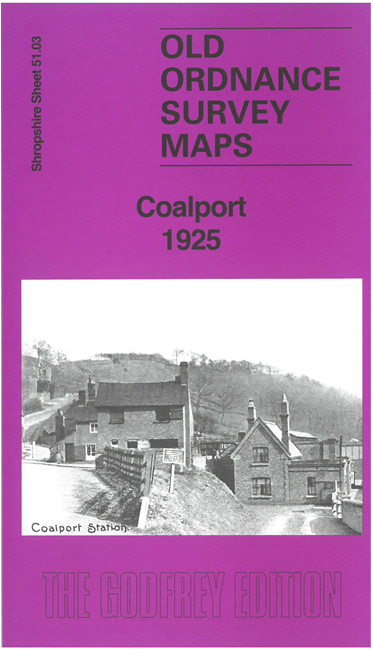
    Features include LMS Coalport branch railway with station and engine shed, GWR Severn Junction Railway with station, Wallace Tileries, Tuckies, Benthall Encaustic Tile Works, Coalport China Works, Coalport Brick & Tile Works, Woodhouse Farm and rural area of Broseley etc.

    On the reverse we include timetables for the Coalport Branch in 1897 and the Severn Valley Railway in 1906, together with an introduction.

    The map links up with Shropshire Sheet 43.15 Madeley South to the north and 51.02 Broseley to the west.


  • Follow this link for a complete list of our Shropshire or Telford maps. For other information and prices, and other areas, go to The Index Page.
  • Maps in the Godfrey Edition are taken from the 25 inch to the mile map and reduced to about 15 inches to the mile. For a full list of maps for England, return to the England page.
    The Godfrey Edition / sales@alangodfreymaps.co.uk / 30 August 2024