
 Here are the details of maps for Ironbridge:


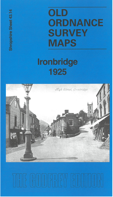
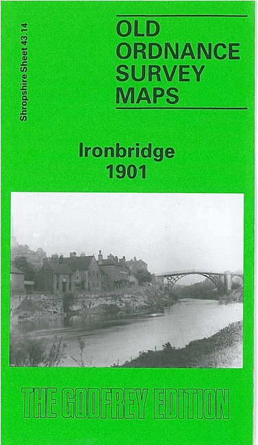
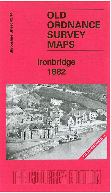
We have published three versions of this map, showing how the area changed across the years. The 1882 version is fully coloured, taken from the beautiful 1st Edition handcoloured map. The maps cover the historic centre of Ironbridge, including the Iron Bridge itself, part of the Coalbrookdale Iron Works, and the Severn Valley Railway.
Other features include Madeley Union Workhouse, St Luke's church, Benthall Tile Works, The Brockholes, Madeley Wood, Styches Colliery, Holy Trinity church, Coalbrookdale station, tramways, brick works, old limekilns etc. The 1901 and 1925 maps have directory extracts on the reverse; the 1882 map has 1906 railway timetables for the Severn Valley Railway.
This map links up with Shropshire Sheet 43.10 Coalbrookdale to the North, 43.13 Buildwas Abbey to the West, 43.11 Madeley Court to the North-East, 43.15 Madeley South to the East and 51.02 Broseley to the South.