Old Ordnance Survey Maps of Somerset
We have a range of detailed maps for Somerset towns, and we also cover the whole county at the Inch to the Mile scale.
All maps are available from our On-line Mapshop.
Somerset County Council was formed in 1889. There was a reorganisation in 1974, when the northern part of the county, comprising Bath,
Wansdyke and Woodspring, became part of the County of Avon. The rest of Somerset had a 2-tier structure with a county council and 5 districts.
See This Page for a summary of the county's local government history.
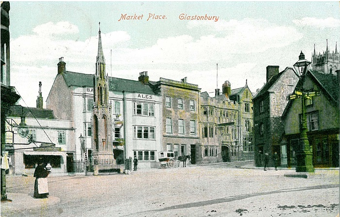
 These are the maps we publish for Somerset, including North Somerset and
Bath & North East Somerset.
These are the maps we publish for Somerset, including North Somerset and
Bath & North East Somerset.
The following map, in our Gloucestershire Series, will also be of interest:
We also provide complete coverage of Somerset in our Inch to the Mile series. These are the principal sheets for the county:
See the One Inch page for a complete list.
 Most maps in the Godfrey Edition are taken from the 25 inch to the mile map and reduced to about 15 inches to the mile.
For a full list of English maps, return to the England page
You can order maps direct from our On-line Mapshop.
This list shows all our maps for the county. We try to keep a full range in print but inevitably some titles fall out of print from time to time.
These are noted in our On-line Mapshop.
Most maps in the Godfrey Edition are taken from the 25 inch to the mile map and reduced to about 15 inches to the mile.
For a full list of English maps, return to the England page
You can order maps direct from our On-line Mapshop.
This list shows all our maps for the county. We try to keep a full range in print but inevitably some titles fall out of print from time to time.
These are noted in our On-line Mapshop.
Alan Godfrey Maps, Prospect Business Park, Leadgate, Consett, DH8 7PW. Tel 01207 583388
The Godfrey Edition / sales@alangodfreymaps.co.uk / 24 July 2020
 These are the maps we publish for Somerset, including North Somerset and
Bath & North East Somerset.
These are the maps we publish for Somerset, including North Somerset and
Bath & North East Somerset.
