Old Ordnance Survey Maps of Nottinghamshire

  • These detailed maps normally cover an area of about one and a half miles by one mile. Each map includes an introduction.
  • They are available through our On-line Mapshop

  • Here are the details of maps for Kimberley:

  • Notts Sheet 37.07 Kimberley 1899 - published 2022; intro by Barrie Trinder. ISBN.978-1-78721-491-0

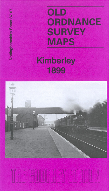
    This very detailed map covers the large village of Kimberley.

    Features include Holy Trinity church, Main Street with all buildings neatly shown, Midland Railway with station, Great Northern Railway with station, lace factory, cemetery, chapels, Watnall Cantelupe, Watnall station, Watnall Sidings with moineral line, Nuthall House, Spencer House et.

    1891 directories for Kimberley and Nuthall are included on the reverse together with a specially written introduction by Barrie Trinder.

    The map links up with Notts sheets 37.08 Bulwell West to the east.


  • Follow this link for a complete list of our Nottinghamshire Series maps.
  • You can order maps direct from our On-line Mapshop. For other information and prices, and other areas, go to The Index Page.
  • Maps in the Godfrey Edition are taken from the 25 inch to the mile map and reduced to about 15 inches to the mile. For a full list of maps for the East Midlands, return to the East Midlands page.
    The Godfrey Edition / sales@alangodfreymaps.co.uk / 29 January 2022