
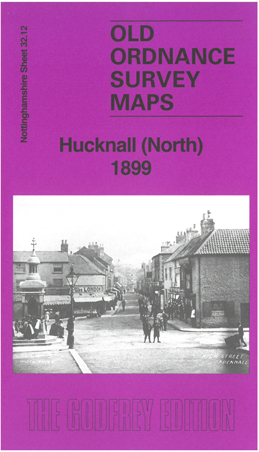
 Here are the details of maps for north Hucknall:

This detailed map is double-sided for maximum coverage.
The main map covers the town centre, including the Market Place, St Mary's church, UDC offices, Northill, football ground etc, with railways stretching northward to Linby Colliery. Coverage extends westward to Whyburn Farm. Railways include the Great Central, Midland (Nottingham & Mansfield) and Great Northern (Leen Valley Branch).
On the reverse we include a large extract from adjacent sheet 33.09 extending coverage eastward to include the Midland and GNR stations, Portland Works, Warkmill and The Grange. There is also a thorough introduction by Barrie Trinder discussing the various industries and other features of the map.
The map links up with companion sheet 32.16 Hucknall South to the south.