
 Here are the details of maps for East Bedfont & north Feltham:

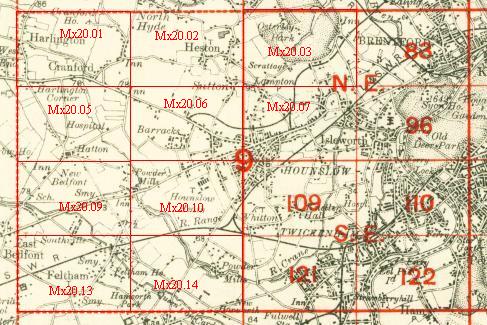
This detailed map is centred on a stretch of the Staines Road, which runs west-east through the map, from Bedfont Lodge eastward to North Feltham. New Bedfont is at the top of the map, Southville at the bottom. See this index map for the area covered. Other streets include Tachbrook Road, Fruen Road, Hatton Road, New Road, Harlington Road West. The NW sector of the map shows an area now covered by the southern edge of Heathrow Airport. At first this may seem an unexciting suburban area, but Tony Painter's essay shows how much history it has. The Duke of Northumberland's River runs across the map. On the reverse we include a Six-inch to the Mile map showing New Bedfont, Feltham and Hounslow Heath in 1894.
The map links up with Middlesex Sheets 20.05 Hatton to the north, 19.12 East Bedfont to the west, 20.02 Hounslow Heath 1934 and 20.13 Feltham to the south.
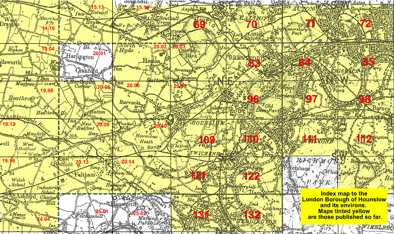 Follow this link for a list of our maps for the London Borough of Hounslow, or here for a complete list of our London maps .