
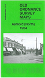
 Here is information about the map for north Ashford:

This detailed map covers the northern part of Ashford, including the station, the western part of Feltham and the southern part of Stanwell and East Bedfont parishes, including the London Road and Staines Road.
Features include railway with Ashford station, Welsh School, several sand & gravel works with tramways, Royal Oak pub, left boundary of borstal, etc. On the reverse we include a list of private residents for Ashford from a 1933 directory.
The map links up with Middlesex Sheets 19.12 East Bedfont to the north, 20.13 Feltham to the east, 24.14 Ashford to the south.
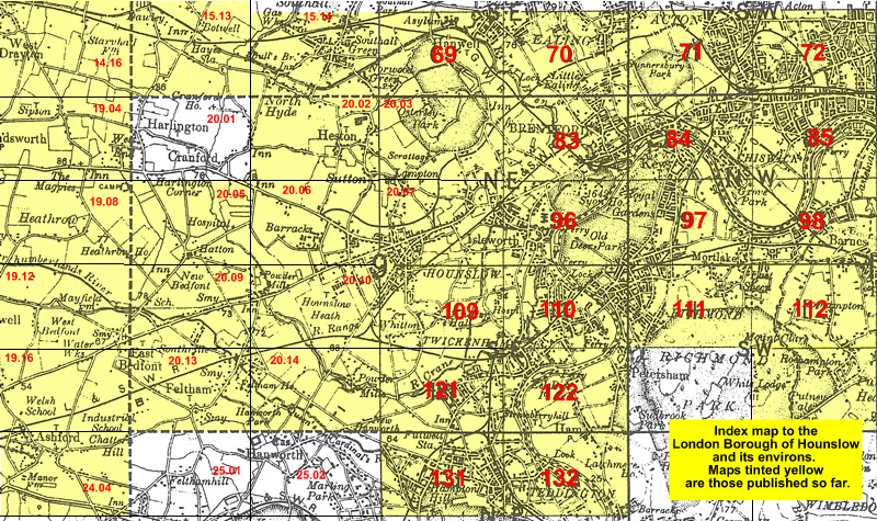 Follow this link for a list of our maps for the London Borough of Hounslow, or here for a complete list of our London maps .