
 Here are the details of the map for Stratford:

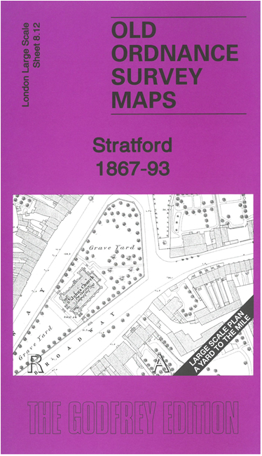
This very detailed map covers the centre of Stratford. It is double-sided, with the 1867 map on one side and a reduced version of the 1893 map on the area. We also include an introduction to the history of the area.
Features (from 1867 map) include St John's church, Broadway, Stratford station, Stratford Works, numerous converging railway lines. The later map includes tramways, Theatre Royal, Town Hall, St Francis RC Church, Holy Trinity church, chapels, engine sheds, low level station etc. Churches and some other public buildings have interiors mapped.
The map links up with sheet 8.02 Stratford New Town to the north, 8.22 Stratford South to the south.