
 Here are the details of the map for Bethnal Green:

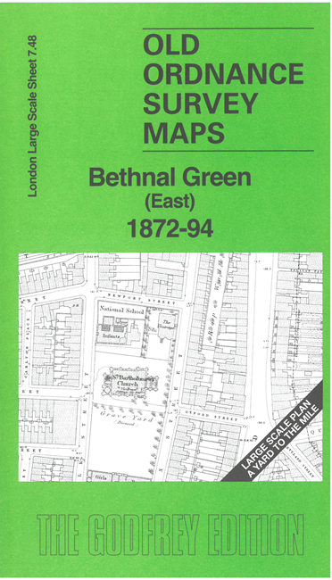
This very detailed map covers a central part of Bethnal Green. It is double-sided, with the 1872 map on one side and a reduced version of the 1894 map on the reverse. We also include an introduction to the history of the area.
Features (from 1872 map) include Bethnal House, St Bartholomew's church, St John's church, Birkbeck School, railway with Bethnal Green station, almshouses, St Andrew's church, St James the Great church, schools, chapels, etc. Churches and some other public buildings have interiors mapped.
The map links up with sheet 7.47 Bethnal Green West to the west, 7.38 Bethnal Green North to the north, 7.58 Whitechapel to the south.