
 Here are the details of the map for the north Bethnal Green area:

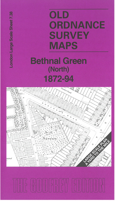
This very detailed map covers the northern part of Bethnal Green. It is double-sided, with the 1872 map on one side and a reduced version of the 1894 map on the reverse. We also include an introduction to the history of the area.
Features (from 1872 map) include railway and Cambridge Heath station, Bethnal Green museum, Jews Chapel and Schools, Bethnal Green Workhouse, Imperial Gas Works, St John's Church, breweries, chapels, etc. Churches and some other public buildings have interiors mapped.
The map links up with sheet 7.48 Bethnal Green East to the south.