
 Here are the details of the map for Camden Town:

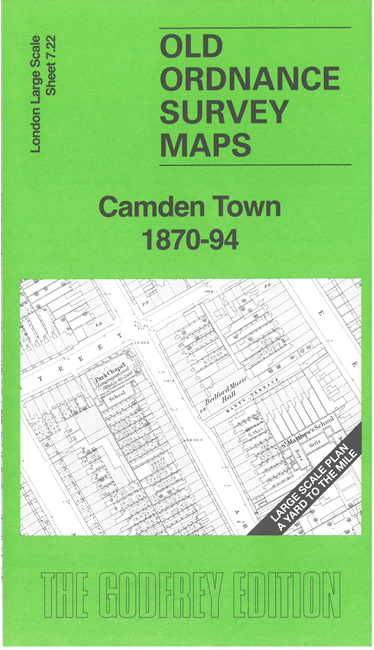
This very detailed map covers the centre of Camden Town, with streets of housing spreading in all directions. Coverage is from Hamilton Street southward to Crowndale Road, Oval Road eastward to King's Road.
Features include Regent's Canal, Camden Church, St Martin's Burial Ground (later St Martin's Gardens, St Martin's Almshouses, St Matthew's Church, St Pancras Public Baths, Bedford Music Hall, Bedford Chapel, Royal Veterinary College etc. The 1870 map shows the streets in detail, including the layouts of many gardens. We include a reduced version of the 1894 map on the reverse.
The map links up with sheet 7.12 Camden Lock to the north, 7.21 The Zoo to the west, 7.23 Old St Pancras to the east, 7.32 Euston to the south.