
 Here are the details of maps for Stockport:

We have published two versions of this map, showing how the area changed across the years. Each covers the centre of Stockport and the area to the north and east, including Portwood and Lancashire Hill.
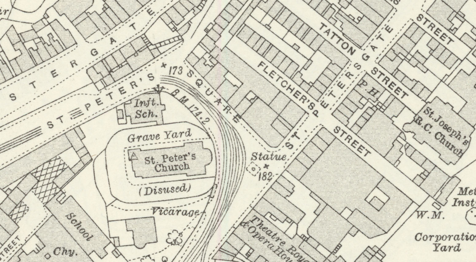
Features include central Stockport with individual buildings neatly shown, St Mary's church, St Peter's church, tramways and depot, Borough Cattle Market, New Bridge Mills, gasworks, Cheshire Lines Railway with Tiviot Dale station, Portwood Goods Station, Pendlebury Orphanage, Lancashire Hill area, Rivett's Mill, Coronation Mill, Bankfield Mill, Meadow Mill, Portwood Mills, Bee Hive Mill, Grimsbottom Recreation Ground, River Tame, Palmer Mills, Vernon Mills, St Paul's church, Croft Mills, Carrington Bridge Mill, Brinnington Hall, Pear New Mill, Goyt Mills, Welkin Ring Mill, Lower Bredbury, etc.
The map links up with Lancashire Sheets 112.05 South Reddish to the north, 112.09 Stockport South to the south, and 111.12 Heaton Norris to the west. Further maps of Stockport are available in our Cheshire series.
Further information:
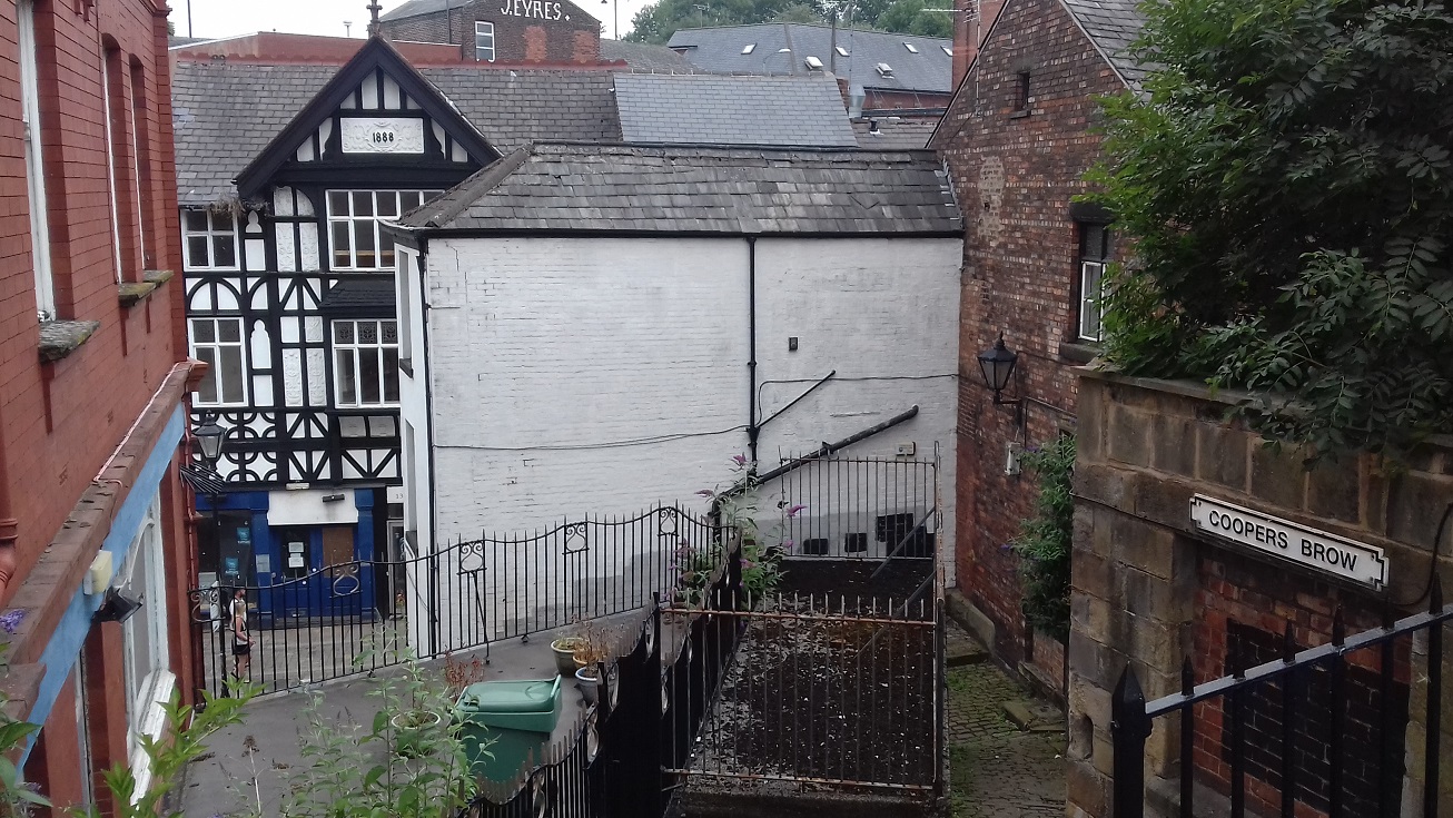
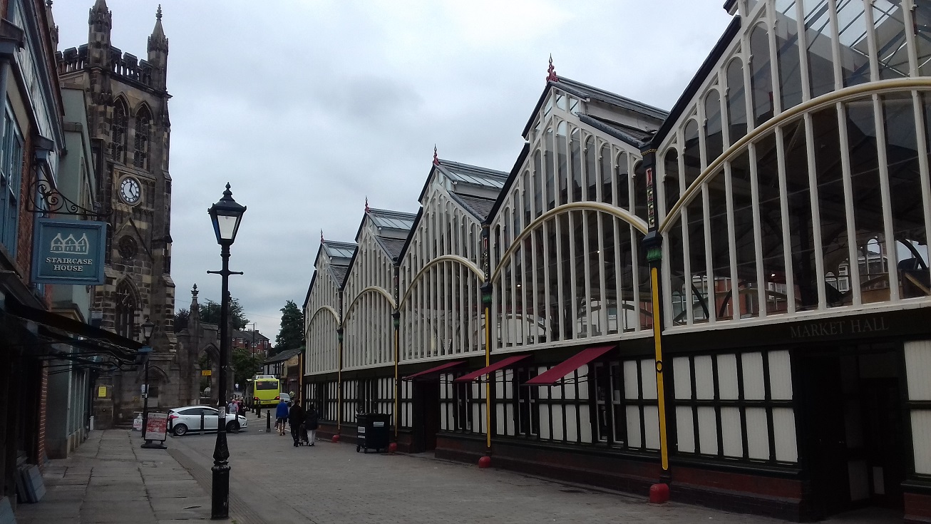
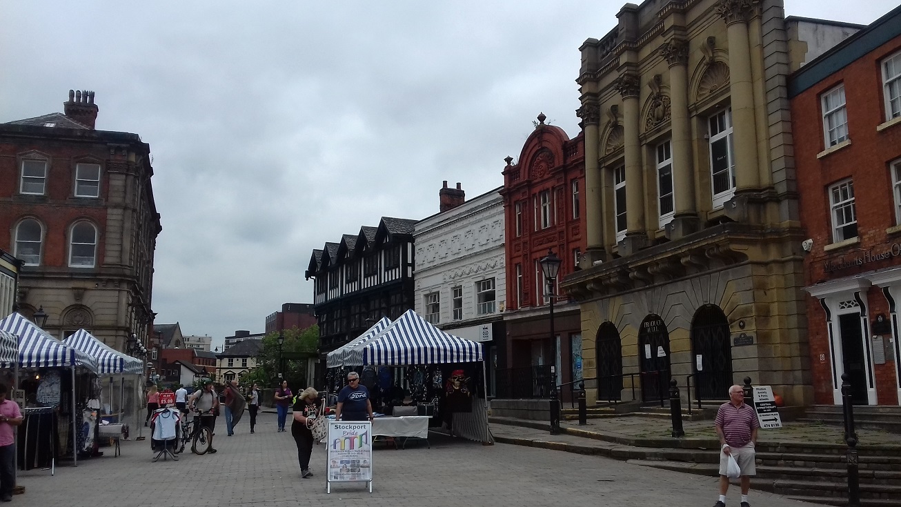
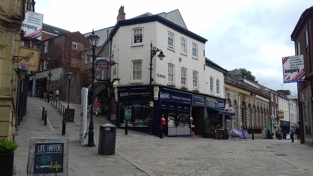
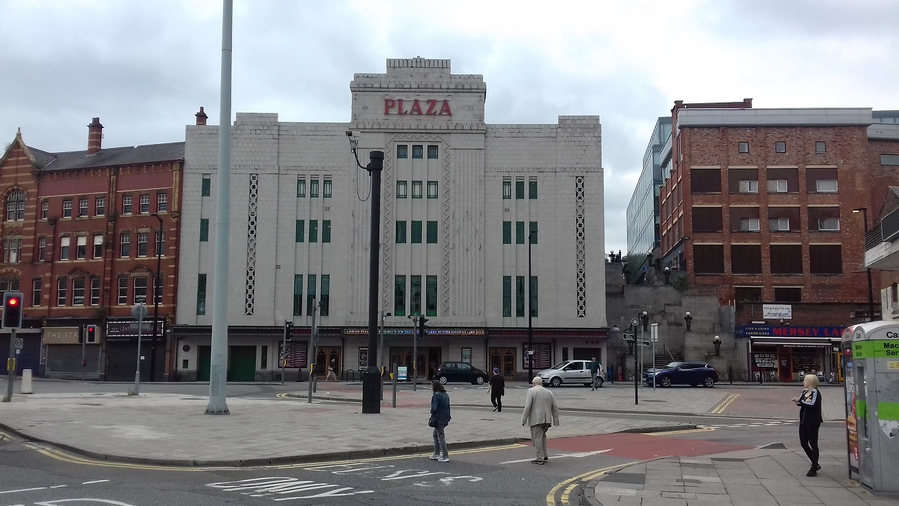
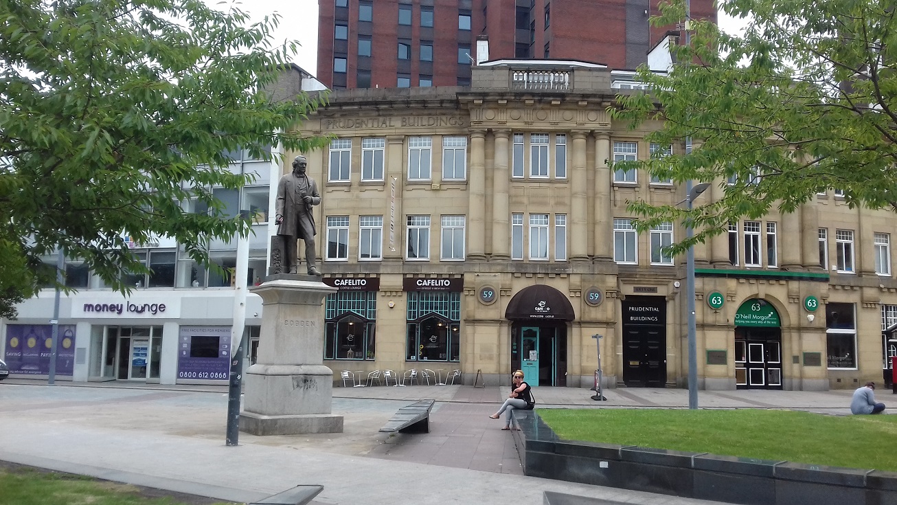
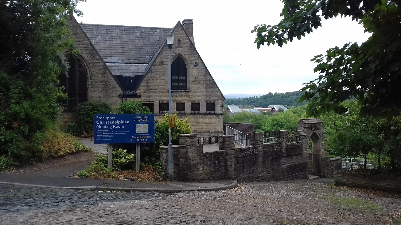
Stockport, the largest town in Cheshire, stands at an historic crossing point of the Mersey. Over the years it has absorbed Reddish and Heaton Norris across the river, which is now largely culverted and hidden from view. To the east is Portwood, which developed massively in the 19th century on the back of its cotton mills, but which has now largely been cleared away. Stockport retains an attractive 'old town', with its parish church, fine market hall, and twisting, narrow cobbled streets, while across the river, off Lancashire Hill, is the Dodge Hill conservation area, based on the 18th century coaching road. Apart from the cotton mills, Stockport was a major centre for the hatting industry. It had an extensive tram network and for a short while had a small trolley-bus route, based on those used in Bremen and unlike any others in the UK.


 .
.
"When the original settlement at Stockport was established, it was located not in the Mersey valley, but on a triangular site overlooking the valleys of the Mersey and the Goyt with a stream, known as the Tin Brook, flowing in the vicinity of Lower Hillgate. The settlement gradually expanded, as its location was a strategic one overlooking the only place where the Mersey could be crossed. It is believed that there was a bridge across the Mersey at the bottom of Lancashire Hill as early as the 17th century with a small settlement close by. The strategic nature of Stockport is well illustrated by the fact that there was a castle built in the medićval period overlooking the Mersey and its main crossing point at the bottom of Lancashire Hill. Close to the castle was the Market Place, where a market has been held since 1260, and St Mary’s Parish Church, which was the main church for an extensive parish. The fact that the Mersey could be crossed in Stockport led to the town’s involvement in a small way in both the Civil War and the Jacobite invasion of 1745."