

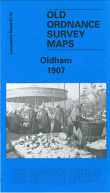
 Here are the details of maps for Oldham:
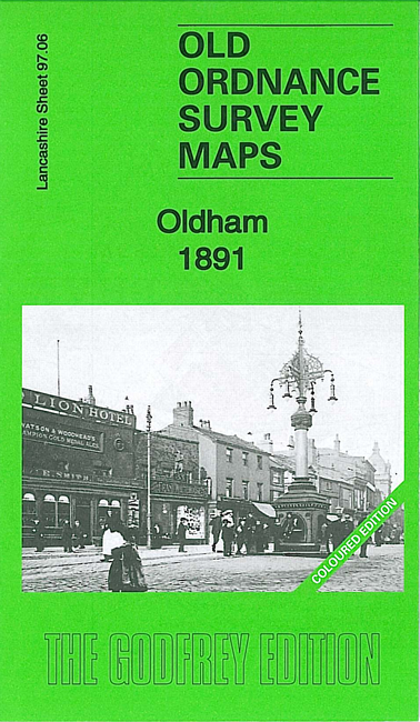


We have published three versions of this map, showing how the area changed over the years. The 1891 version is fully coloured, taken from the beautiful 1st Edition OS handcoloured map.
The maps cover the heart of Oldham, with coverage stretching from Westbourne Street eastward to Bleasby Street, and from Cromwell Street northward to Samson Street. The many features include railway with Mumps station, St Mary's church, Market Ground, Market Hall, Coldhurst Hollow, Bank Top, Cold Hurst, Sarah Moor, Oldham Edge, Moorhey, Townfield, Greenacres Moor, St James Mill, Soho Iron Works, Castle Iron Works, tramways, Hartford Old Works, Derker Old Mill, Albany Mills, Granville Mill, Greenbank Mills, Commercial Mills, tramway depot, Glodwick Road station, Hargreaves Spindle Works, Werneth Mill, Summervale Mill, Willowbank Mill, Royal Mill, many other mills, rope works, Oldham Boiler Works etc.
The map links up with sheets 97.02 Roytonto the north, 97.05 Chadderton to the west, 97.07 Oldham East to the east and 97.10 Oldham South to the south.