

 Here are the details of maps for Chadderton:


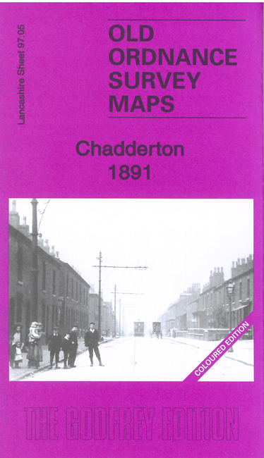
We have published two versions of this map, showing how the area changed across the years. The 1891 version is in full colour, taken from the original OS handcoloured map.
The maps cover much of Chadderton and the western fringe of Oldham. Coverage stretches from Chadderton Park and Ferney Field eastward to Featherstall Road, and from Burnley Lane southward to Cow Hill.
Features include Hartford Iron Works, Werneth station, Stockfield Colliery, Alder Root, Westwood, Busk, tramways, Britannia Mills, Werneth Goods station, Anchor Mill, Gresham Mill, Olive Mill, Ashley Mill, Springfield Mill, Glenby Mill, Hartford Forge, Sun Mill, Palm Mill, Wren Mill, Melbourne Mills, other mills, the steep Middleton Jct & Oldham branch, Chadderton Cemetery, Springbrook Works, Ferney Field colliery (disused), Falcon Mill, Manor Mill, Westhulme Fever Hospital etc.
The map links up with sheets 96.08 Middleton to the west, 97.01 North Chadderton to the north, 97.06 Oldham to the east and 97.09 Oldham SW to the south.