
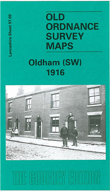
 Here are the details of maps for Oldham SW:


We have published two versions of this map, showing how the area changed across the years. The 1891 version is in full colour, taken from the beautiful 1st Edition OS handcoloured map.
The maps cover the SW side of Oldham, incl Werneth, with coverage stretching from Coppice Street and Werneth Park westward to Oldham Sewage Works and White Gate, and from Drury Lane northward to Alfred Street. Features include Glebe Mills, Richmond Mill, Butler Green, Gem Mill, Lark Mill, Nile Mill, Raven Mill, Ramsey Mill, Mona Mill, Melrose Mill, Chadderton Mill, Hartford Mill, Werneth Mill, several other mills, short stretch of Rochdale Canal, Durban Mill, Vale Mill, Oak Mills, Hartford House, St John's church etc.
The map links up with sheets 97.05 Chadderton to the north, 97.10 Oldham South to the east, 97.13 Failsworth to the south.