Old Ordnance Survey Maps of Lancashire

  • These detailed maps normally cover an area of about one and a half miles by one mile. Each map includes an introduction.
  • They are available through our On-line Mapshop

  • Here are the details of maps for Stubbins:

  • Lancashire Sheet 79.08 Stubbins 1927 - published 2024; intro by Nigel Jepson. ISBN.978-1-78721-769-0

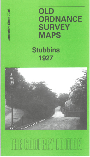
    This detailed map gives very coverage of Stubbins, on the north side of Ramsbottom, with coverage extending westward to Beetle Hill.

    Features include railway with Stubbins station and junction, River Irwell, Chatterton Mill, Stubbins Vale Mill, Cuba Mill, Union Mill, Green Mount, The Cliffe, Stubbins Paper Mill, Rosebank Print Works, Higher Chatterton, Buckden Wood, Higher Stubbins etc

    The map links up with sheets 79.12 Ramsbottom to the south.


  • Follow this link for a complete list of our Rochdale or Bury maps. For other information and prices, and other areas, go to The Index Page.
  • Maps in the Godfrey Edition are taken from the 25 inch to the mile map and reduced to about 15 inches to the mile. For a full list of maps for the North West, return to the North West page.
    The Godfrey Edition / sales@alangodfreymaps.co.uk / 24 June 2024