Old Ordnance Survey Maps of Lancashire

  • These detailed maps normally cover an area of about one and a half miles by one mile. Each map includes an introduction.
  • They are available through our On-line Mapshop

  • Here are the details of maps for Irwell Vale:

  • Lancashire Sheet 79.04 Irwell Vale & Lumb 1908 - published 2024; intro by Nigel Jepson. ISBN.978-1-78721-805-5

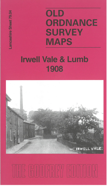
    This detailed map covers Irwell Vale, at the northern tip of Bury MBC, and also includes an introduction to the history of the area.

    Features include railways, with Ewood Bridge station, Lumb, Lumb Works, Hardsough, Sunny Bank, Sunny Bank Mill, Tor Side House, Irwell Vale Mill, etc.

    On the reverse we include a section of an earlier map, showing Irwell Vale in 1891.

    The map links up with sheets 79.08 Stubbins to the south.


  • Follow this link for a complete list of our Rochdale or Bury maps. For other information and prices, and other areas, go to The Index Page.
  • Maps in the Godfrey Edition are taken from the 25 inch to the mile map and reduced to about 15 inches to the mile. For a full list of maps for the North West, return to the North West page.
    The Godfrey Edition / sales@alangodfreymaps.co.uk / 16 October 2024