
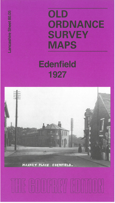
 Here are the details of maps for Edenfield:

This detailed map is double-sided for maximum coverage.
The main map covers the southern part of Edenfield and extends eastward to include Turn. The many features include Acres House, Bridge Mills, Plunge, Hope Mill, Dearden Clough Mill, Edenwood Mill, Hollin's Quarry, Britannia Rope Works, St John's church Shuttleworth, Lodge Mill, Scout Fold, Scout Moor Colliery, etc.
On the reverse we include part of adjacent sheet 80.01 extending coverage north to include the northern part of Edenfield. Features here include Horncliffe House, Crow Woods, church, Sprinbank Size Works, hotels, pubs etc
The map links up with sheets 79.08 Stubbins to the west.