Old Ordnance Survey Maps of Kent

  • These detailed maps normally cover an area of about one and a half miles by one mile. Each map includes an introduction.
  • They are available through our On-line Mapshop

  • Here are the details of maps for Luton and Darland:

  • Kent Sheet 19.12 Luton & Darland 1932 - published 2024; intro by Pamela Taylor. ISBN.978-1-78721-778-2

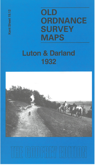
    This map covers the SE part of Chatham, part of Gillingham, Luton and Darland Hill.

    Features include Upper Luton, East Hill, Fort Darland, Darland, Darland Hill, Watling Street, Jezreel's Tower, Beacon Hill, Christ Church, chapels, schools, streets of housing off Rainham Road and Luton Road, etc.


  • For other maps in Kent see our Kent page.
  • You can order maps direct from our On-line Mapshop. For other information and prices, go to The Index Page.
  • Maps in the Godfrey Edition are taken from the 25 inch to the mile map and reduced to about 15 inches to the mile. For a full list of maps for England, return to the England page
    The Godfrey Edition / sales@alangodfreymaps.co.uk / 24 July 2024