Old Ordnance Survey Maps of Kent

  • These detailed maps normally cover an area of about one and a half miles by one mile. Each map includes an introduction.
  • They are available through our On-line Mapshop

  • Here are the details of maps for south Chatham:

  • Kent Sheet 19.11 Chatham (South) & Fort Luton 1932 - published 2024; intro by Pamela Taylor. ISBN.978-1-78721-796-6

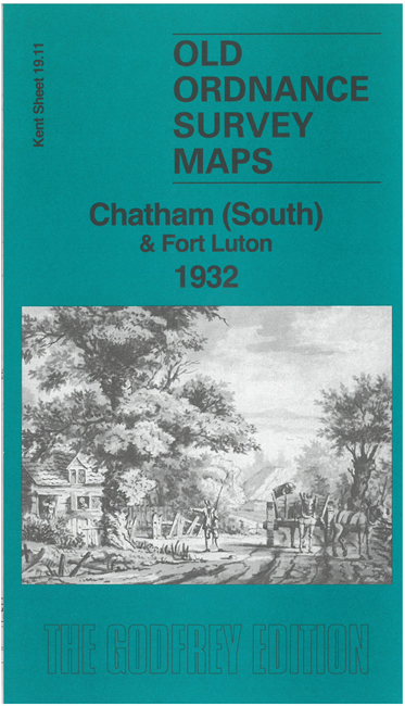
    This map covers the southern part of Chatham plus the western part of Luton and an eastern strip of Rochester.

    Features include Fort Luton, Medway Hospital, Chatham Extra Cemetery, St William's Hospital, Kennel Farm, Medway Cottage Homes, High School, Holcombe Junior Technical School, Huntsman's Corner, All Saints church, Street End, etc

    The map links up with sheets 19.07 Chatham to the west and 19.12 Luton to the east.


  • For other maps in Kent see our Kent page.
  • You can order maps direct from our On-line Mapshop. For other information and prices, go to The Index Page.
  • Maps in the Godfrey Edition are taken from the 25 inch to the mile map and reduced to about 15 inches to the mile. For a full list of maps for England, return to the England page
    The Godfrey Edition / sales@alangodfreymaps.co.uk / 30 September 2024