Old Ordnance Survey Maps of Devon

  • These detailed maps normally cover an area of about one and a half miles by one mile. Each map includes an introduction.
  • They are available through our On-line Mapshop

  • Here are the details of maps for Plymouth SE:

  • Devon Sheet 124.09 Plymouth (Oreston & Cattewater) 1912 - published 2024; intro by Richard Oliver. ISBN.978-1-78721-784-3

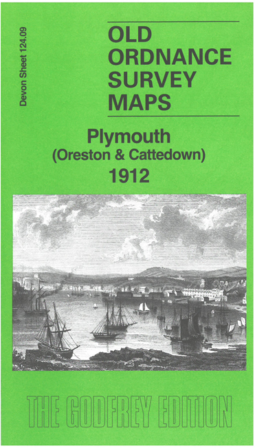
    This map covers the south-eastern part of Plymouth around Oreston, Cattedown and Pomphlett.

    Features include Pomphlett Quarry, Pomphlett Mill Quarries, Bedford Quarry, Radford Quarry, Breakwater Quarry; railways incl Plymstock Branch, Turnchapel Branch, Cattewater Branch, Oreston station, Plymstock station; Prince Rock area, Turnchapel area, Plymouth Chemical Works, Cattedown Quarry, Hooelake Point, Turnchapel Wharves, Downhorn Farm etc. We also include an introduction by Richard Oliver and railway timetables for the Yealmpton and Turnchapel branches.

    The map links up with sheet 123.12 Plymouth Hoe to the west, 124.05 Laira to the north.


  • Follow this link for a list of our maps for Devon county, Plymouth, or Torbay; or here for a general list for the South West. For other information and prices, and other areas, go to The Index Page.
  • Maps in the Godfrey Edition are taken from the 25 inch to the mile map and reduced to about 15 inches to the mile. For a full list of maps for England, return to the England page.
    Alan Godfrey Maps, Prospect Business Park, Leadgate, Consett, Co Durham, DH8 7PW / sales@alangodfreymaps.co.uk / 17 September 2024