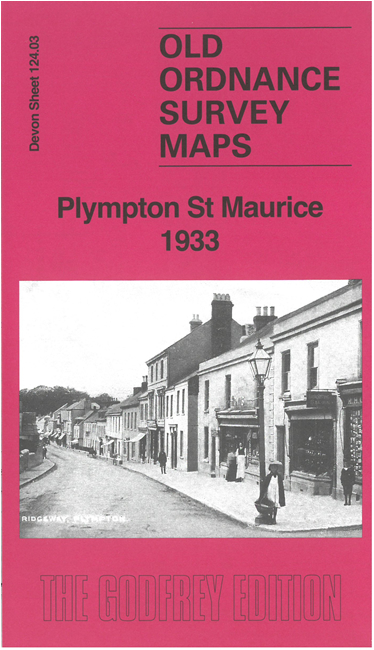
 Here are the details of maps for Plympton St Maurice 1933:

This map is double-sided for maximum coverage.
The main map covers the eastern part of Plympton St Mary. Features include Ridgeway, Sydney, Torridge House, Old Newnham, Colebrook House, Maudlyn Lands, school, Chaddlewood, Hemerdon, etc. The railway runs across the map.
On the reverse we include parts of adjacent sheet 124.07 extending coverage south to include Plympton St Maurice. Features here include Plympton Castle, St Maurice's church, Fore Street, Plympton House, St Elizabeth's House of Rest, Lower and Higher Yealmpstone Farms etc. We include a specially written introduction to the history of the area.
The map linkls up with sheet 124.02 Plympton St Maurice to the east.