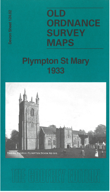
Devon Sheet 124.02 Plympton St Mary 1933 - published 2025; intro by Richard Oliver. ISBN.978-1-78721-835-2
This detailed map covers the area from Longbridge and the River Plym eastward to Plympton, where it covers the western half of the town.
Features include St Mary's church, Ridgeway, Priory, Colebrook, Stone Barton, Grat Western Railway with Plympton station,
Tavistock Junction, part of Launceston Branch, Lee Moor Tramway, old canal, Great Woodford Farm, Lower and Higher Woodford, Underwood House, etc.
The map linkls up with sheet 124.03 Plympton St Maurice to the east.
Follow this link for a list of our maps for Devon county, Plymouth,
or Torbay; or here for a general list for the South West.
For other information and prices, and other areas, go to The Index Page.
Maps in the Godfrey Edition are taken from the 25 inch to the mile map and reduced to about 15 inches to the mile.
For a full list of maps for England, return to the England page.
Alan Godfrey Maps, Prospect Business Park, Leadgate, Consett, Co Durham, DH8 7PW /
sales@alangodfreymaps.co.uk / 16 May 2025
 Here are the details of maps for Plympton St Mary 1933: