
 Here are the details of maps for Plymouth (North):

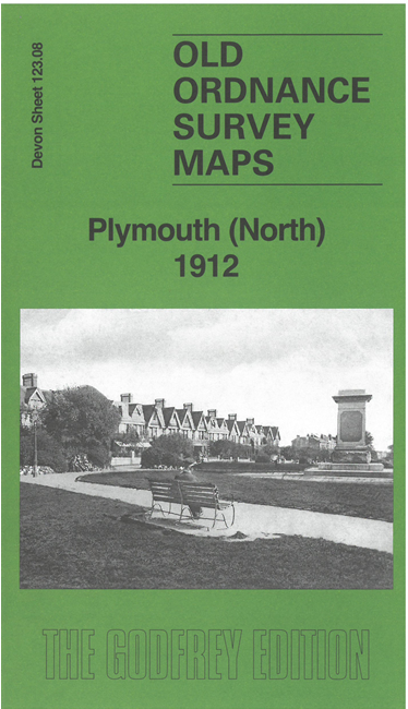
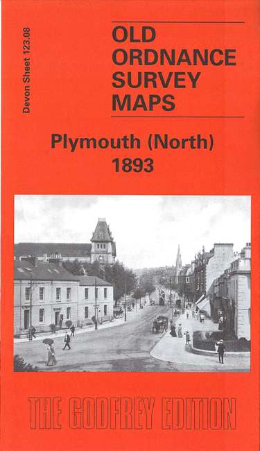
We have published two versions of this map, showing how the area changed over the years.
The maps cover the northern part of Plymouth, with coverage stretching from Wyndham Square eastward to Lipson Farm and Lipson House, and from Grenville Road northward to Lockyer Road.
Features include LSWR railway with Friary station, engine shed, Plymouth Workhouse, Freedom Fields, Lipson, GWR railway with Mutley station, North Road station, cemetery, Beaumont Park, RC Cathedral, Houndiscombe, St Jude's church, Ford Park area, Market Place, tramways etc. On the reverse we include extracts from contemporary street directories, together with introductions to the history of the area.
The map links up with sheet 123.04 Plymouth NW to the north, 123.07 Devonport North to the west, 124.05 Laira to the east and 123.12 Plymouth Hoe to the south.