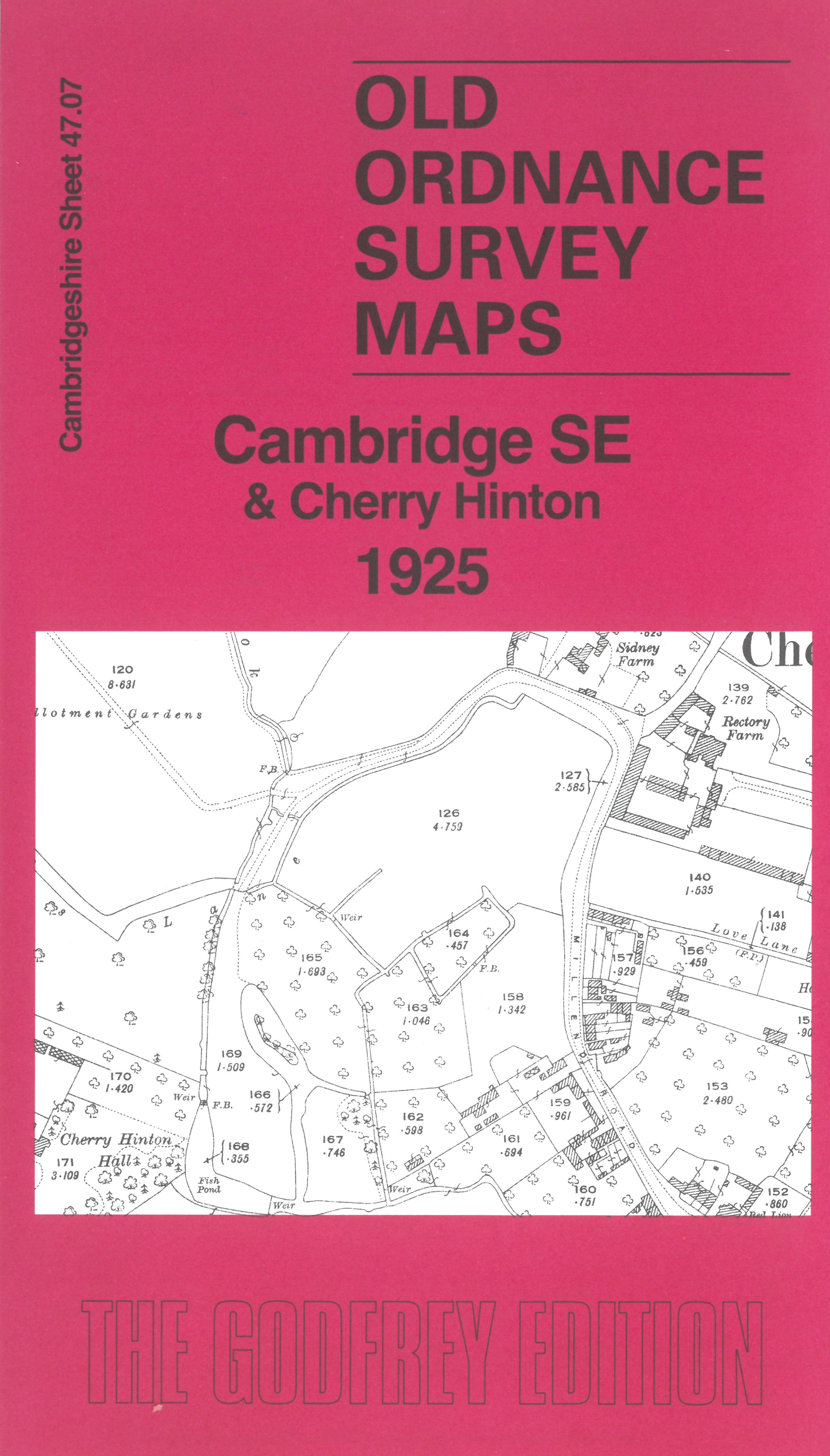
Sheet 47.07 Cambridge SE & Cherry Hinton 1925 - published 2026; intro by Tony Kirby. ISBN.978-1-78721-934-2 
This detailed map covers SE area of Cambridge, around Cavendish Avenue and Coleridge Road, and extends east to Cherry Hinton. Features include
Cherry Hinton Hall, Ventress Farm, Norman Cement Works, St Andrew's church, Church End, and Cherry Hinton village.
The map links up with sheet 47.03 Cambridge East to the north, 47.06 Cambridge South to the west.
Follow this link for a complete list of our Cambridgeshire maps.
You can order maps direct from our On-line Mapshop.
For other information and prices, and other areas, go to The Index Page.
Maps in the Godfrey Edition are taken from the 25 inch to the mile map and reduced to about 15 inches to the mile.
For a full list of maps for England, return to the England page.
Alan Godfrey Maps, Prospect Business Park, Leadgate, Consett, Co Durham, DH8 7PW / sales@alangodfreymaps.co.uk / 8 May 2026
 Here are the details of maps for Cambridge (SE):