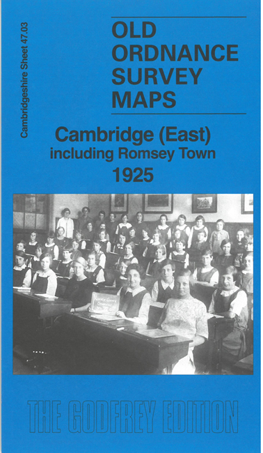
Sheet 47.03 Cambridge East (including Romsey Town) 1925 - published 2026; intro by Tony Kirby. ISBN.978-1-78721-973-1 
This detailed map covers Eastern part of Cambridge, including Romsey Town.
Features include railway incl Newmarket branch, Atlas Concrete Works, Saxon Portland Cement Works, Coldham's Common, Coldham Model Laundry, isolation hospital, schools, etc.
The map links up with sheet 40.15 Cambridge NE to the north, 47.02 Cambridge to the west and
47.07 Cambridge SE to the south
Follow this link for a complete list of our Cambridgeshire maps.
You can order maps direct from our On-line Mapshop.
For other information and prices, and other areas, go to The Index Page.
Maps in the Godfrey Edition are taken from the 25 inch to the mile map and reduced to about 15 inches to the mile.
For a full list of maps for England, return to the England page.
Alan Godfrey Maps, Prospect Business Park, Leadgate, Consett, Co Durham, DH8 7PW / sales@alangodfreymaps.co.uk / 8 May 2026

 Here are the details of maps for Cambridge (East):