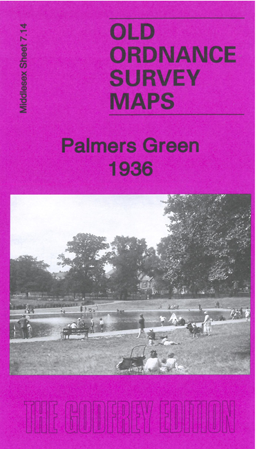
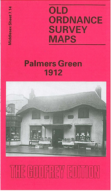
 Here are the details of maps for Palmers Green:

We have published two versions of this map, showing how the area changed across the years.
The maps shows Palmers Green developing rapidly either side of the GNR Enfield Branch and Green Lanes which run north-south through the cantre of the map. Coverage stretches from Warwick Road eastward to Huxley Farm and Blind Lane, and from St John's church southward to Tottenhall Road, Whittington Road and St Michael's church, at Bowes.
Features include railway with Palmers Green station, tramways, bus depot, Skinners Almshouses, isolation hospital, Broomfield Park, Council Offices, Kings Arms Bridge, Truro House, St Mary's church, Old Park House, Chequers Works, cinemas, etc
The map links up with Middlesex Sheets 7.10 Winchmore Hill to the north, 7.13 Friern Barnet to the west, and London Sheets 3 Upper Edmonton to the east, and 7 Wood Green to the south.
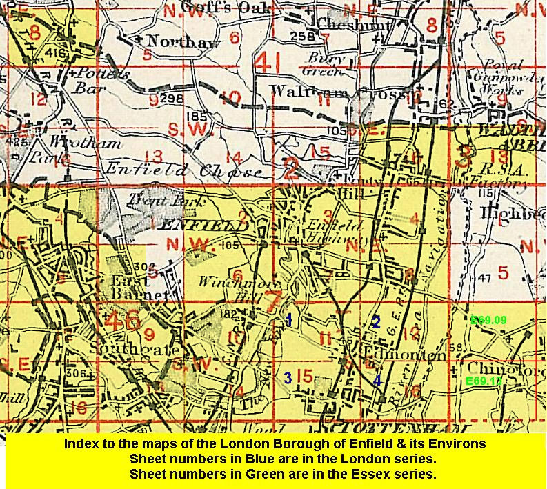 Follow this link for a list of our maps for the London Borough of Enfield, or here for a complete list of our London maps .