
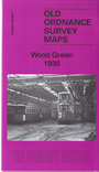
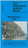
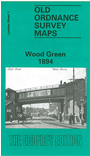
 Here are the details of maps for Wood Green:

We have published 3 versions of this map, showing how the area developed across the years. The maps each cover the same area, stretching from Dagmar Road eastward to Hatherley Road and Boundary Road, and from Spencer Avenue southward to Gladstone Avenue.
The maps cover much of the centre of Wood Green lower centre, part of the development of Bowes Park top left, and much of Noel Park lower right. Features include Wood Green (now Alexandra Park) station, Bowes Park, Noel Park and Palace Gates stations, Royal Masonic Institution, Wood Green Common, Banquet Hall of Alexandra Park, St Gabriel's church Bowes Park, Chitts Hill House, White Hart Lane Potteries, Wolves Lane. Green Lanes runs north-south through the centre of the map. Each map includes extracts from contemporary directories.
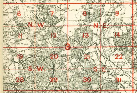
The map links up with Middlesex Sheets 7.14 Palmers Green to the north, and London sheets 6 Alexandra Park to the west, 8 Tottenham North to the east, 12 Hornsey to the south.
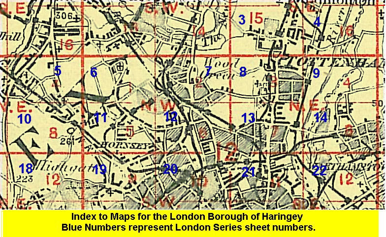 Follow this link for a list of our maps for the London Borough of Haringey, or here for a complete list of our London maps .
 Follow this link for a complete list of our London maps .
You can order maps direct from our On-line Mapshop. For other information and prices, and other areas, go to The Index Page.
Maps in the Godfrey Edition are taken from the 25 inch to the mile map and reduced to about 15 inches to the mile. For a full list of maps for England, return to the England page.
Alan Godfrey Maps, Prospect Business Park, Leadgate, Consett, Co Durham, DH8 7PW / sales@alangodfreymaps.co.uk / 20 February 2018