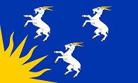
Old Ordnance Survey Maps of Merioneth
We have a range of detailed maps for towns and villages in Merioneth and we also cover the whole county at the Inch to the Mile scale. Here are the details.
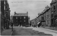
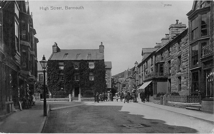
The following maps are all taken from the OS 25" maps and reduced to a scale of approximately 15 inches to the mile.
They are extremely detailed, showing individual houses, details such as railway tracks, pathways,
pubs, factories and even minutiae such as fountains and signal posts. Each map includes an introduction.
All maps are available from our On-line Mapshop
 These are the detailed maps we publish in Merioneth:
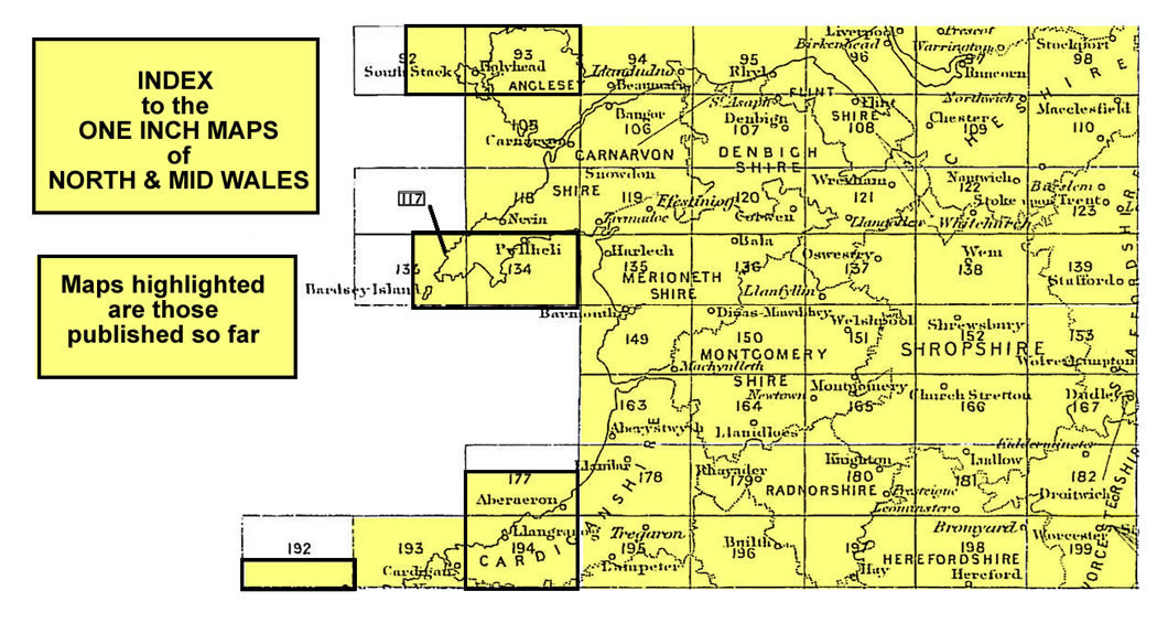
We have also published a series of smaller scale Inch to the Mile maps. These are the principal sheets for Merioneth:
 Most maps in the Godfrey Edition are taken from the 25 inch to the mile map and reduced to about 15 inches to the mile.
For a full list of Welsh maps, return to the Wales page.
You can order maps direct from our On-line Mapshop.
This list shows all our maps for the area. We try to keep a full range in print but inevitably some titles fall out of print from time to time.
These are noted in our On-line Mapshop.
Most maps in the Godfrey Edition are taken from the 25 inch to the mile map and reduced to about 15 inches to the mile.
For a full list of Welsh maps, return to the Wales page.
You can order maps direct from our On-line Mapshop.
This list shows all our maps for the area. We try to keep a full range in print but inevitably some titles fall out of print from time to time.
These are noted in our On-line Mapshop.
Alan Godfrey Maps, Prospect Business Park, Leadgate, Consett, DH8 7PW. Tel 01207 583388
The Godfrey Edition / sales@alangodfreymaps.co.uk / 30 March 2018
 These are the detailed maps we publish in Merioneth: